
Pilots and skydivers use altitude quiet differently, and its important to know what the different altitude values represent. You should know about several types of altitude for various purposes, such as understanding drop zone charts, communicating with jump coordinators and calculating jump performance.
Let’s begin with the most straightforward one:
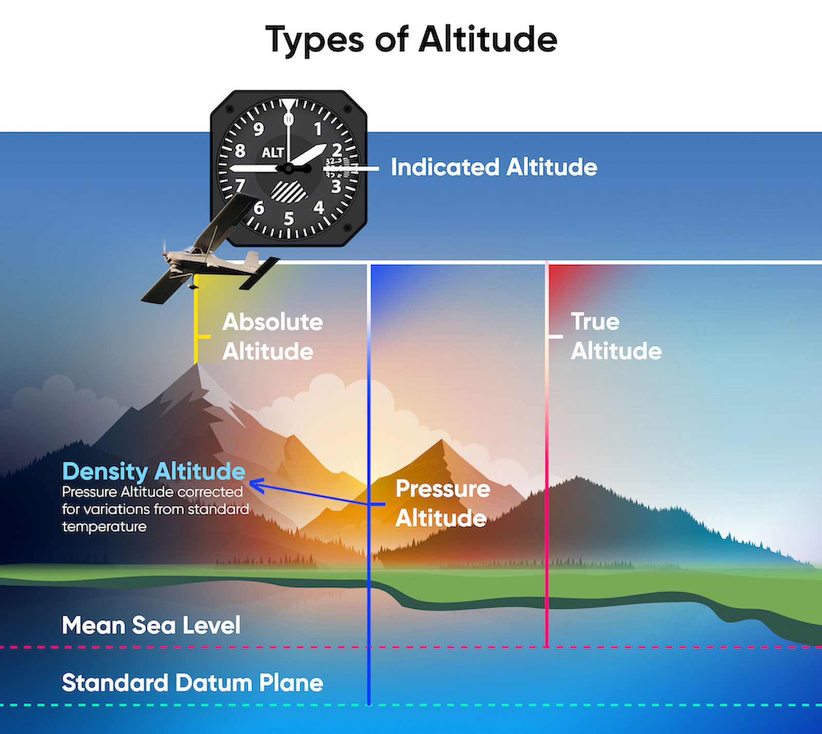
Indicated Altitude
This is the reading on your altimeter when it’s set to the local barometric pressure. Altimeters display altitude in feet in the United States and most of the world, but a few countries such as Russia use meters. Also skydivers in europe often use meters.
Setting to “local barometric pressure” doesn’t mean, the altimeter shows zero on the ground – its just setting the MSL value from standard to the current, real value for sea level pressure. On the altimeter, the altitude of the Dropzone is shown.
True Altitude
This is the vertical distance of the jumper above mean sea level (MSL), which is the indicated altitude corrected for non-standard temperature and pressure. Drop zone, terrain, and obstacle elevations on aeronautical charts are true altitudes.
True altitude equals the indicated altitude when conditions are standard, which is rarely the case. Also, ground doesn’t read zero.
Absolute Altitude
This is the vertical distance of the skydiver above ground level (AGL), which is true altitude minus terrain elevation. Only radio or radar altimeters measure absolute altitude, usually up to 2,500 feet AGL.
This type of altitude is crucial during free fall and canopy descent as it gives skydivers an indication of how far they are from the ground.
Unfortunately, absolute altitude is hard to measure, thats why all skydiving altimeters are zeroed to GND and use some kind of standard condition to calculate the altitude from pressure measurements.
Pressure Altitude
This is the vertical distance of the skydiver above the standard datum plane, which is a theoretical plane where air pressure (corrected to 15 °C) equals 1013.25 hPa. Pressure altitude is equal to the indicated altitude when the altimeter setting is set to, you guessed it, 1013.25 hPa.
Pilots use it for performance calculations and flight level computation.
Density Altitude
This is the pressure altitude corrected for variations from standard temperature, or simply put, it’s the air density expressed as an altitude.
Density altitude equals pressure altitude when atmospheric conditions are standard. It’s one of the most important types of altitude as it’s directly related to the aircrafts performance. This includes your canopy. Density altitude at a given landing area is affected by field elevation, air temperature, barometric pressure, and humidity.
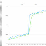
For example: one hot day in Eloy, AZ the temperature maxed out at 46 °C with a barometric pressure of 1008.48 hPa. While Eloy sits at 462 m ASL, the conditions resulted in a density altitude of 1748 m late that afternoon. In other words, if you were flying your parachute during the hottest part of the day, you were landing at an effective altitude 1280 m higher than Eloy’s actual altitude. If it felt like you were coming in hot… well, you were
read in detail at: https://www.skydiveaz.com/post/grow-your-blog-community
Version 1.3 of airlogOne firmware offers the display of density altitude at ground to inform you of non-standard conditions.