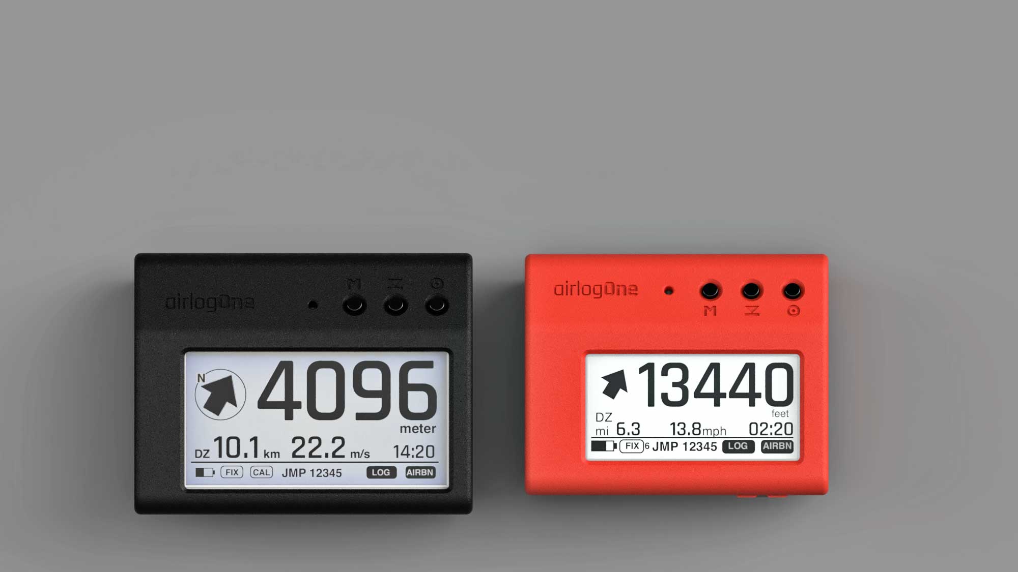
probably the smartest alti/tracker you can buy
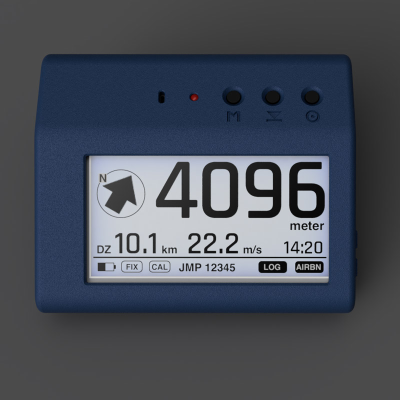
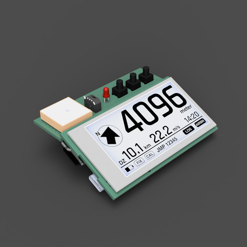
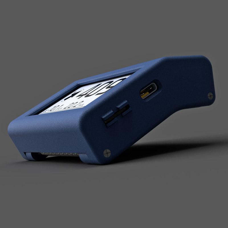
10 DOF sensors
to track your jumps, airlogOne uses a high-precision barometric altitude sensor, stores your track with high-performance GNSS and detects your movements with a 9DOF attitude and heading reference system (AHRS) that provides detailed insight into each of your moves
airlog advanced dashboard
The airlog.app dashboard is your cloud-based logbook and data analysis center. See all your jumps in the automatically managed logbook and analyze the jump with specialized tools that, together with the video, give you deep insights into your performance.

our instruments are accompanied by sophisticated software tools:
airlog.app is the universal logbook and flight analysis software.

PWA webapp for browser or mobil
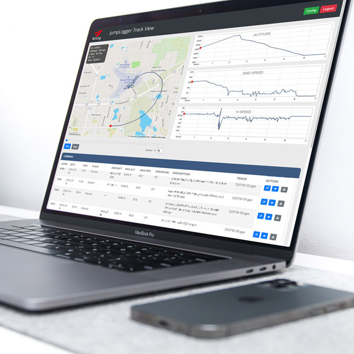
airlogOne stores its track data in a firebase cloud database. You can access your logbook on any browser or mobile device, anytime anywhere.
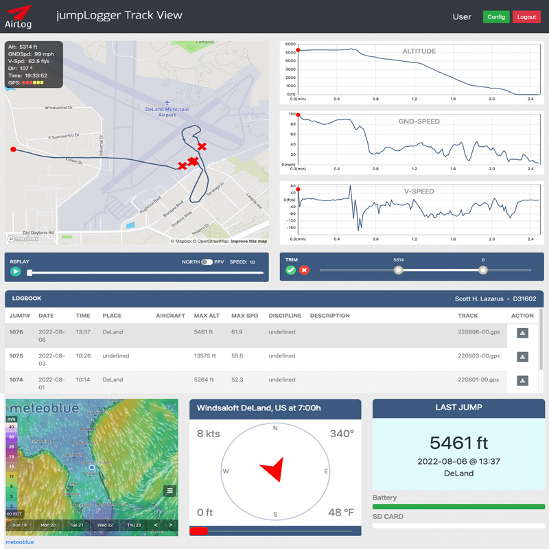
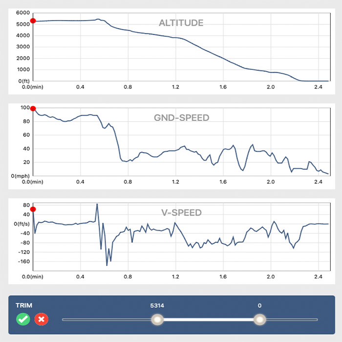
The larger screen is used to analyse your flight data and display all relevant information at a glance.
your cloud based logbook
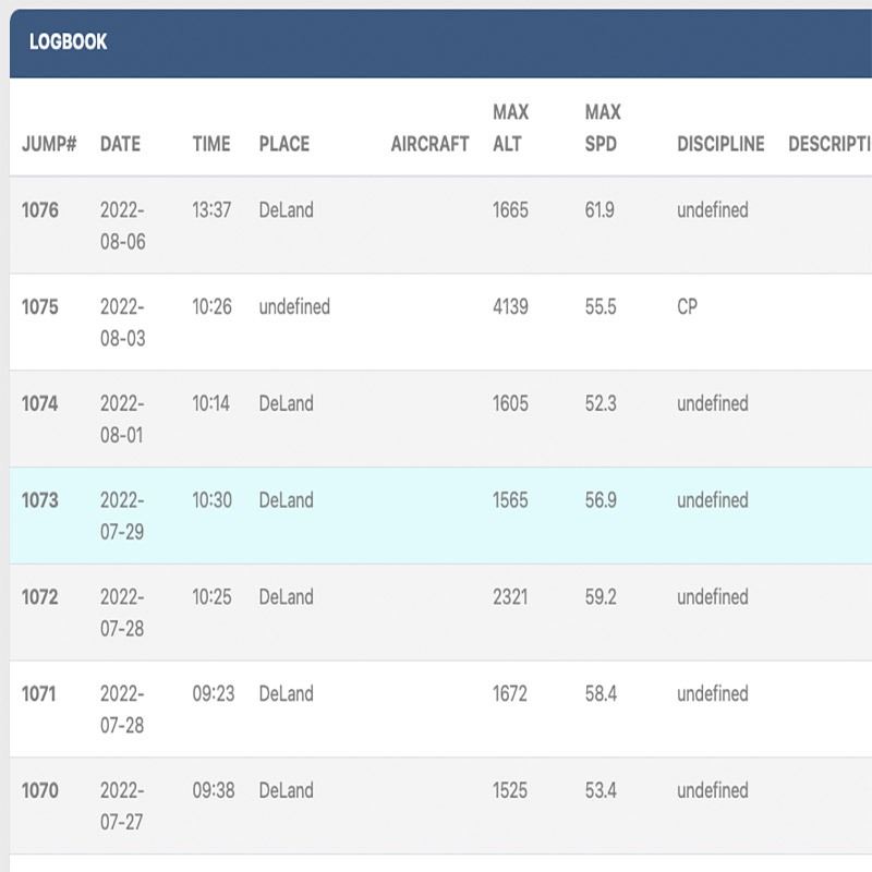
the airlog dashboard not only helps to analyse your flight data: as your universal logbook it also stores all relevant data of your jumps: time, location, altitude and jump# are logged automatically, aircraft, discipline and jump description can be added anytime
track visualisation
on the large map you can see and navigate through your jump. Replay track and data in different speeds on the map , zoom in or out.
The map is north-oriented or follows your flight direction (FPV)
Top left all important data for the current position is shown., including GPS quality
detailed flight analysis
check our online shop or visit your local dealer:
Germany:
takeOff Fehrbellin: www.funjump.de
Poland:
www.sklep-spadochronowy.pl
Czech Republic:
soon
USA:
Scott Lazarus, Deland FL - usa@airlog-one.com

latest technology, ultimate precision and love for detail
tracking and motion sensing
a complete flight controller on your wrist: AHRS, barometric altitude and GPS tracking
precise altitude
the barometric sensor internally has resolution of 10cm/4in and is laser trimmed to max precision. The display shows altitude in relaxed 5m increments
direction and distance home
always know you direction and distance to your dropzone. See your ground speed and estimate early if you can make it

