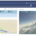
The new remote target feature allows you to save up to 5 named targets.
Each target consists of four pieces of information: a short name (up to 5 letters), the latitude (LAT) and Longitude (LON) in degrees.decdegrees plus the altitude in meters.The geographical data can be measured using GPS or simply read from an online map (Google Maps) by placing a point on the map.This data is entered in the airlog.app under Device/airlogOne/REMDZ.The active target can be selected on the website (transferred with the synchronization) or selected and checked in the device configuration.
Target guidance
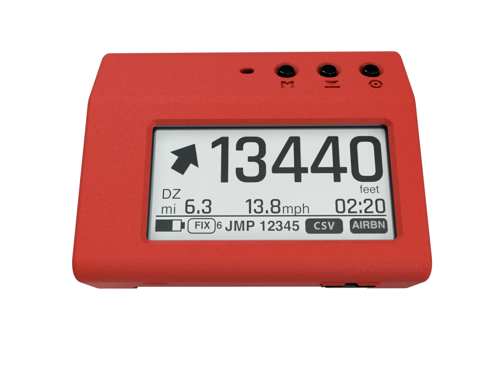
On the normal Alti/Tracker screen, guidance is provided by means of a direction arrow in relative bearing, i.e. relative to the current direction of flight (therefore read the device in the direction of flight, e.g. hold it in front of your chest) and display of the distance to the target together with the current speed over ground.
Using the altitude
ATTENTION: in test mode, the target altitude entered in the airlog.app is not taken into account. The altitude display is based on the air pressure at the starting point and may not match the altitude at the destination
Only when using the CP screen, the altitude for the destination approach is taken into account.
It is planned to adjust the altitude display to the altitude at the destination at a later date. For this purpose, the altitude stored together with the coordinates would be regarded as the difference to the starting point and added or subtracted as a correction value when approaching the target near the destination. This corresponds to the procedure with analog altimeters.
Alternatively, the current air pressure at the destination sea-level (QNH) and the elevation of the destination (height above sea level) can be specified in order to correctly calculate the local altitude.
The test operation should show the best solution.
Unlike the analog altimeter, the airlogOne initially displays the altitude based on the starting point and only switches to the target altitude when approaching the target location (approx. 2.5 km). This is made clear by the altitude being displayed in italics.
SetDZ / HOME button
As a rule, the destination is set with the HOME button on the drop zone. This only works if the device has a valid GPS fix. This GPS position is saved at position1 of the five destinations. The altitude here is always the zero altitude currently determined at the location.
In CP mode ONLY, the CP 3D target altitude entered under Config is used as the target altitude.


